Google Maps Distance Explained: How Driving Routes Differ from Direct Lines
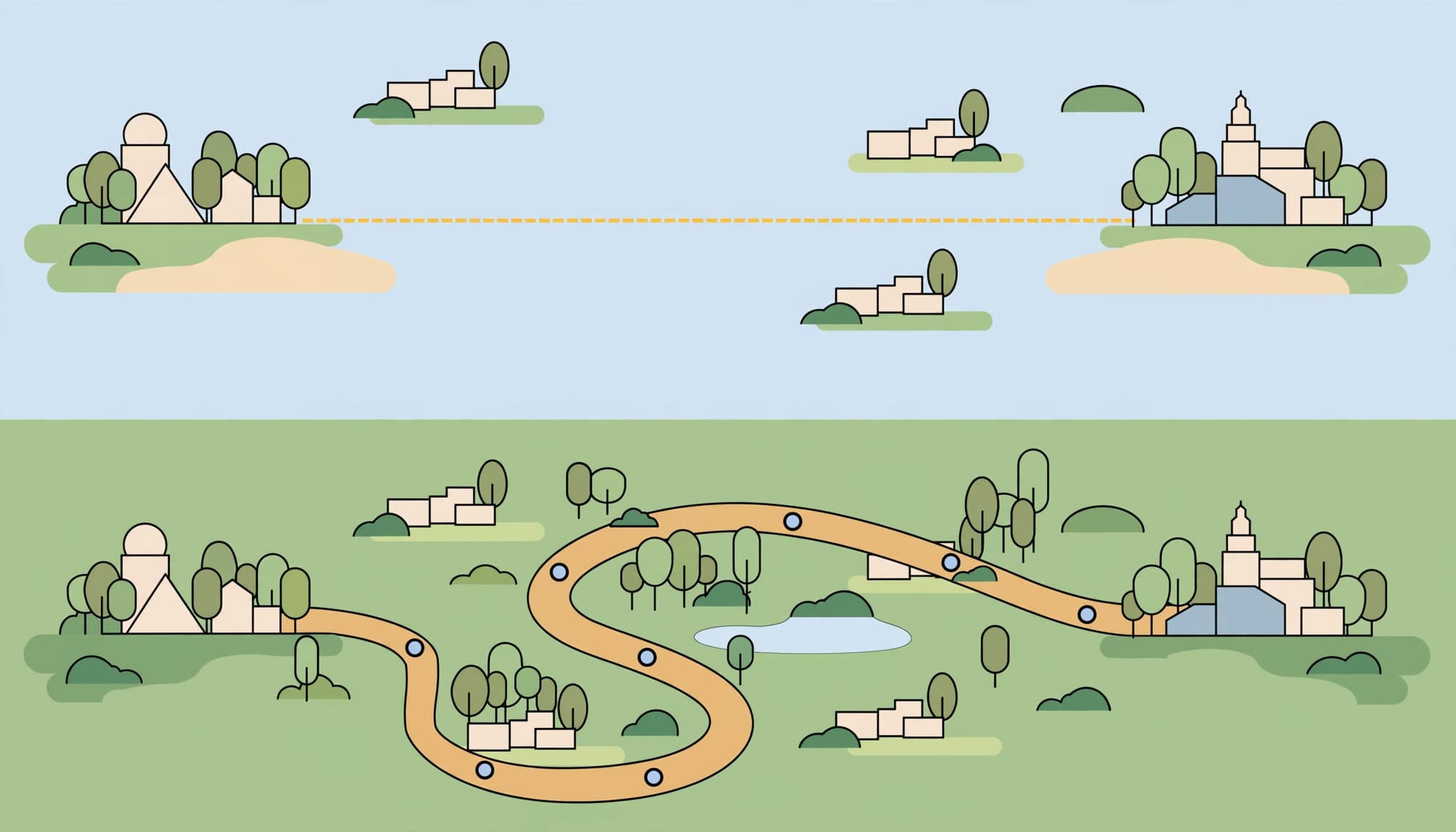
Google Maps distance depends on the feature you use: Navigation features measure a mapped route, while direct point-to-point tools connect selected points directly. Driving time is a separate estimate affected by traffic and other conditions.
For practical planning, choose a route for road travel and straight-line distance to gauge geographic distance. Start by identifying which number answers your question.
Key Takeaways
- Turn-by-turn routing shows route distance and estimated travel time.
- Point-to-point tools connect locations without automatically following roads.
- Adding points lets you trace a path or estimate a perimeter.
How Google Maps Distance and Travel Time Differ
Driving distance follows a mapped route
Driving distance measures the length of the selected road route. One-way streets, bridges, road access, and route choices can affect that length.
Driving time estimates how long the trip will take. Traffic, incidents, and departure time can change the estimate without changing the route’s distance.
To find a route, enter one location, select Directions, and replace My Location with the other address. Choose Driving for vehicular routes or Walking to check estimated walking distance. Google’s directions and route guidance explains the available travel modes and time estimates.
Straight-line paths connect selected points
Operating as a straight-line distance calculator, the tool determines the direct length between your chosen points. With two points, it measures the distance “as the crow flies.”
Adding points creates connected segments. These can approximate a running route, hiking trail, or journey without direct roads. The line follows your selected points rather than automatically matching streets or trails.
Measure Distance on a Desktop Browser
Google’s desktop distance instructions explain how to create and adjust a measured path.
- Open Google Maps in your browser and zoom into the starting location.
- Right-click the starting point and select Measure distance.
- Left-click the destination. The total distance appears in the card at the bottom of the screen.
- Continue left-clicking to add points and extend the path. The total updates automatically.
Click and drag point markers to reposition them. Click an existing point to remove it. This makes it easier to correct a misplaced corner without rebuilding the entire path.
To finish or clear measurement data, click Close on the info card. Desktop displays show miles, feet, meters, and kilometers.
Measure Distance on Android or iPhone
The basic process is the same on both phones. Google’s mobile distance tool instructions describe selecting locations and adding points.
- Open Google Maps and touch and hold an unmarked spot until a red pin appears.
- Open the pin’s information panel or pop-up menu and select Measure distance.
- Move the map until the black circle is positioned over your next location.
- Tap Add point at the bottom right. Repeat to build a longer path.
The total appears at the bottom in miles and kilometers. Position the map carefully before adding each point.
Use Undo to remove the most recent point. To remove the entire path and clear distance lines, open More and select Clear.
Trace a Path or Measure a Perimeter
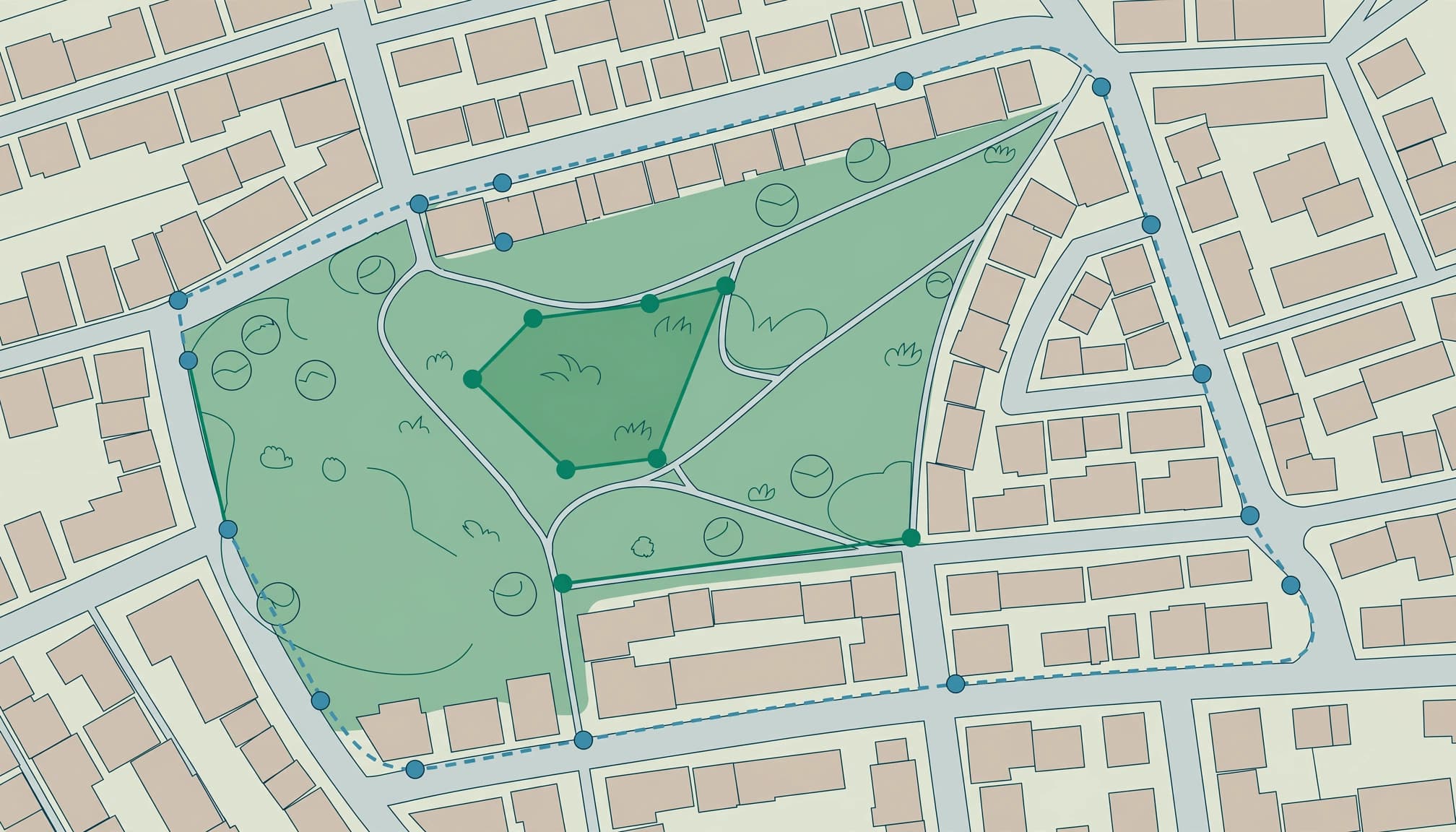
For a curved hiking route or trail, add points at bends rather than measuring only between the endpoints. More carefully placed points produce a closer approximation of the path.
To estimate a perimeter, follow the boundary and return to the starting location. The resulting total estimates the boundary length.
Area requires a different workflow. Google My Maps supports distance and area calculations when you mark corners and close a shape. It’s separate from the standard Google Maps distance tool.
If an area is reported in square feet, divide by 43,560 to convert it to acres. Perimeter measures boundary length; area measures the space inside.
Improve Accuracy and Fix Selection Problems
Use these calculations for everyday planning, not surveyed boundaries or construction dimensions. Zoom level, point placement, and imagery alignment affect the result. Google does not provide an official margin of error in its measurement instructions.
If a pin won’t drop, press and hold an unmarked area rather than an existing business label. Zoom closer when nearby labels make selection difficult.
If Maps stops responding, refresh the browser or close and reopen the app. Install available app updates. For route problems, enter a starting address manually and choose the appropriate travel mode.
Frequently Asked Questions
Do I need GPS to measure between two locations?
No. You can manually select arbitrary points without your phone’s current location. Location services matter when Maps needs to identify where you’re standing, such as when route navigation begins at your current position.
Does dropping a pin update a business location?
No. A dropped pin selects a point for calculating distance, saving, or sharing. It doesn’t relocate a public business listing. Correcting that listing requires an edit to the business location, and coordinates don’t replace an accurate street address.
Choose the Right Measurement for Your Purpose
Use Directions for travel distance and time. Choose direct line tools for direct or manually traced lengths, with carefully positioned endpoints.
For business owners, accurate location information supports customer visits and a sound local SEO foundation. If your Google Business Profile marker sends customers to the wrong place, call us at (732) 523-2600 for help.
To discuss your business location and local visibility, schedule a free discovery call: Schedule Call.